urban matters
The Center for Land Use Interpretation
Dedicated to the increase and diffusion of information about how the nation’s lands are apportioned, utilized, and perceived.
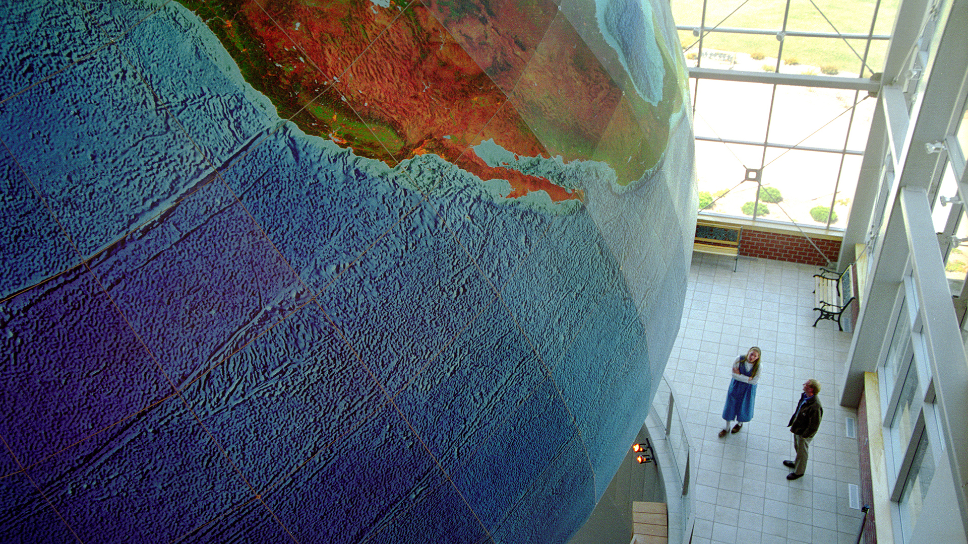
The Center for Land Use Interpretation is a research and education organization interested in understanding the nature and extent of human interaction with the earth’s surface, and in finding new meanings in the intentional and incidental forms that we individually and collectively create. We believe that the manmade landscape is a cultural inscription, that can be read to better understand who we are, and what we are doing.
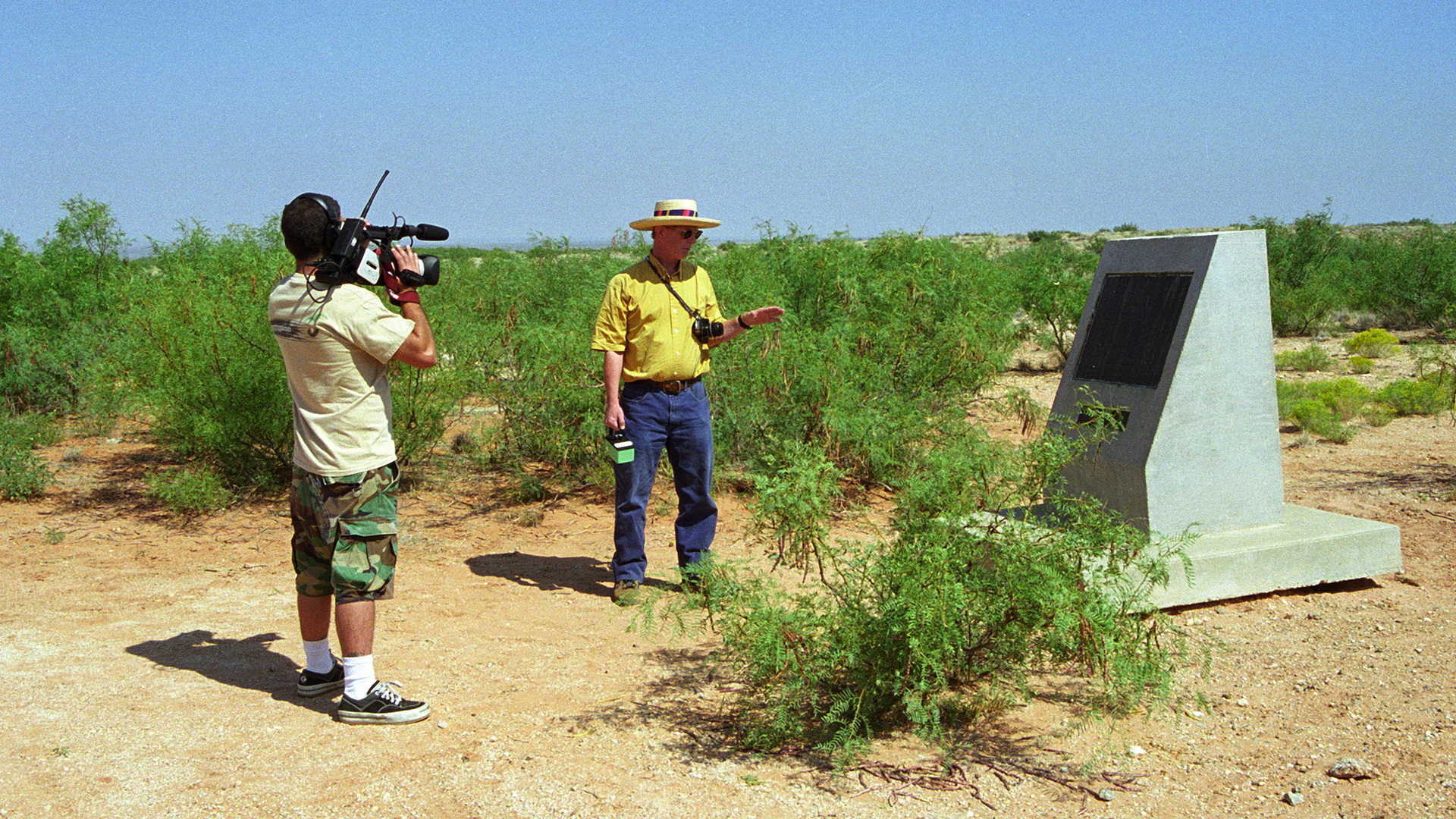
The organization was founded in 1994, and since that time it has produced dozens of exhibits on land use themes and regions, for public institutions all over the United States, as well as overseas. The Center publishes books, conducts public tours, and offers information and research resources through its library, archive, and web site.
The CLUI exists to stimulate discussion, thought, and general interest in the contemporary landscape. Neither an environmental group nor an industry affiliated organization, the work of the Center integrates the many approaches to land use – the many perspectives of the landscape – into a single vision that illustrates the common ground in “land use” debates. At the very least, the Center attempts to emphasize the multiplicity of points of view regarding the utilization of terrestrial and geographic resources.
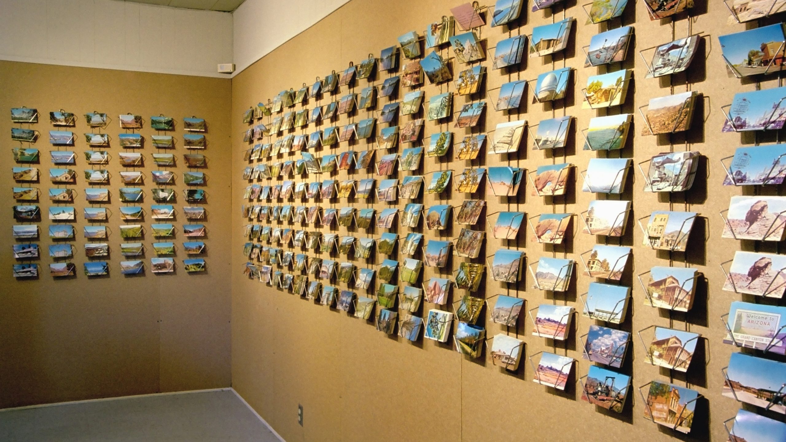
The Center for Land Use Interpretation´s Land Use Database is a collection of unusual and exemplary sites throughout the United States. The database is a free public resource, designed to educate and inform the public about the function and form of the national landscape, a terrestrial system that has been altered to accommodate the complex demands of our society.
Some sites included in the database are works by government agencies involved in geo-transformative activities, such as the Department of Energy, the Bureau of Reclamation, the Army Corps of Engineers, and the Department of Defense. Also included are industrially altered landscapes, such as especially noteworthy mining sites, features of transportation systems, and field test facilities for a variety of high-impact technologies. The database includes museums and displays related to land use, and one of the most thorough listings of land art sites available.
The database describes these sites, and offers links for more detailed information. In many cases information on how to visit these sites is provided, so that they may be directly experienced. The database is continuously being updated by increasing the number of sites listed and expanding the information it contains. We encourage input from those interested in helping us improve this resource.
Photo credits:
1-4. The Center of Land Use Interpretation
The Center for Land Use Interpretation
- Authors: The Center for Land Use Interpretation
- Location: Los Angeles / CA
- Year: 1994 > ongoing
- URL: http://www.clui.org/